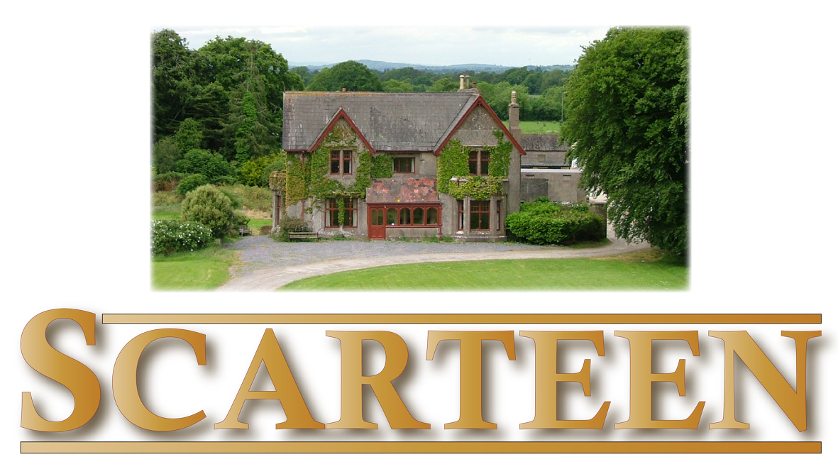
Directions to Scarteen
Click the icon on the map and type in your starting point to receive directions to Scarteen!
Event Directions
Scarteen is located on the Limerick / Tipperary border. Directions from our nearest key towns are below.
From Cashel
Head for Tipperary Town. Go through traffic lights on Main St., Tipperary and left at the end of the street where the road bears round to the right. Go up the hill and turn left in front of Co-Op for Galbally/Mitchelstown. Travel on this road for roughly 8 miles (12km) going through Kilross. Look out for a filling station on the left and turn right directly after this. The event will be signposted from here.
From Limerick City
Come out of Limerick on the Waterford/ Tipperary road. After 6/ 7 miles (10km) look out for a filling station on the right. Just after this, turn right along the Mitchelstown / Fermoy road. Stay on this road through Caherconlish, Herbertstown, Hospital and Knocklong. Go through Knocklong and go on for 1.5 miles (2km) and turn left at a X road with a tree growing in the middle. The event will be signposted from here.
From Mitchelstown
Take the Kilfinnane/Caherconlish exit (R513) from the roundabout by the Firgrove Hotel. Stay on this road through villages Ballylanders and Garryspillane.Around 2 miles (3km) out of Garryspillane look out for a cross roads with a tree growing in the middle. Turn right. The event will be signposted from here.
Sat Nav Co-ordinates: Latitude = 52.4257, Longitude = -8.3712

EIRCODE: V35 PE04